
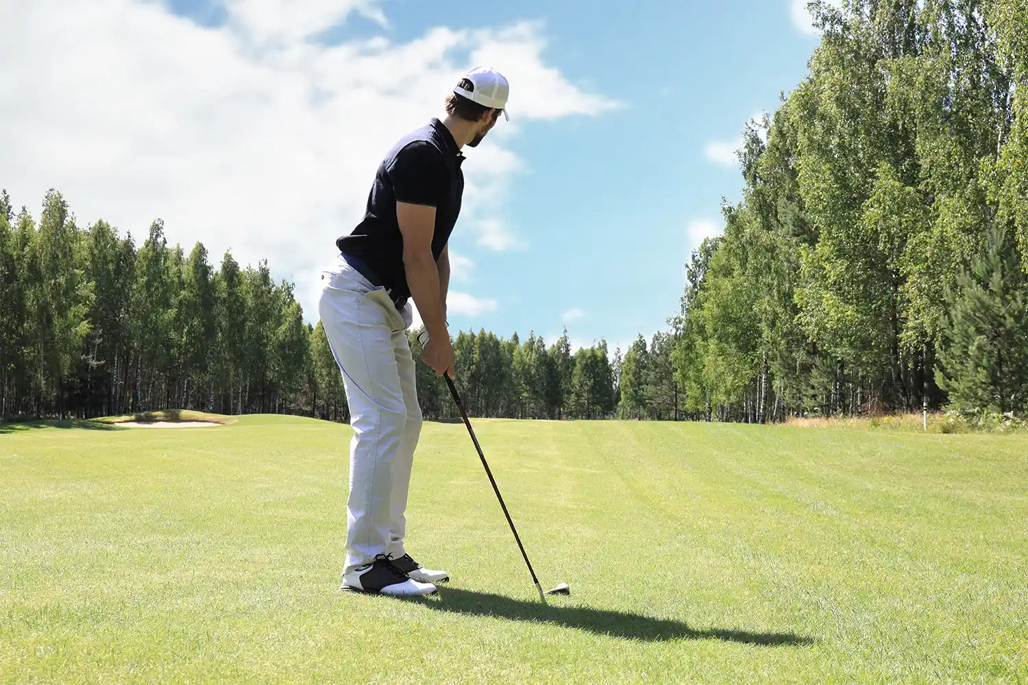
Start with the target. Use a laser for something you can see, such as the flag or a bunker lip. Use GPS for mapped points—the front, middle, and back of the green, hazards, and landing areas. Course markers give you a fixed reference. GPS shot tracking shows how far the ball finished from where it started, while a launch monitor can separate carry from total. Once you have the base yardage, check the conditions that will change how the shot plays.
Start With the Target
Before you check a number, decide what the shot needs to reach. It may be the flag, the front or back of the green, a bunker lip, a layup point, or a landing area.
A laser reading to the flag and a GPS yardage to the middle of the green may not match. Both can be right. They are pointing to different spots.
How Golfers Measure Distance on the Course
Most golfers rely on a laser, GPS, course markers, or shot-tracking technology. Each one is useful for a different job.
Laser Rangefinder
A laser gives you one number to one visible target. Shoot the flag, a bunker lip, a tree, or a mound, and it returns the direct yardage.
If you cannot see it, you cannot laser it. GPS is more useful for hidden hazards or when you need the front and back of the green.
Golf GPS
GPS shows mapped points rather than whatever you can see. Most golf apps and watches provide front, middle, and back yardages, along with hazards and landing areas. Some also include pin placement, elevation, or plays-like information.
A laser might show 147 yards to the flag while GPS shows 154 to the middle of the green. Both can be right—the flag simply is not in the middle. That difference is central to understanding GPS and rangefinder yardages.
Course Markers and Sprinkler Heads
Course markers are fixed references, not live pin numbers. They may appear as fairway plates, colored stakes, cart-path markers, or numbers on sprinkler heads.
Most show yardage to the center of the green unless the course says otherwise. You still need to judge the distance between the ball and the marker, then account for where the flag sits.
How Are Golf Hole Distances Measured?
Official hole yardage is not measured from the day's tee marker to the day's flag. Under the USGA procedure, each hole is measured horizontally from the permanent marker for each tee to the center of the green. GPS, surveying equipment, or an electronic measuring device can be used.
A dogleg is measured in straight sections through one or more pivot points in the fairway. The measurement does not simply cut across the corner.
Tee markers and hole locations move from day to day, so the scorecard yardage and the actual distance to the flag rarely match exactly.
How Do You Measure the Distance of a Golf Shot?
To measure the total distance of a shot on the course, mark where you hit from and where the ball finishes. A GPS app or watch calculates the straight-line distance between those two points. That total includes bounce and roll.
A launch monitor answers a different question: how far did the ball carry, and what happened in the air? It can show carry separately from total distance, along with ball speed, launch, spin, and other flight data.
GPS shot tracking tells you where the ball finished. A launch monitor shows how it got there.
The Number You Measure Isn't Always the Number You Play
A laser reading does not change when the wind picks up. The shot does.
The measured yardage tells you where the target is. Wind, elevation, lie, and temperature determine how that yardage plays. Wind changes ball flight and carry, while elevation changes how far the shot plays.
Pin position is different. If GPS is showing the middle of the green, a front or back pin changes the target itself. A bunker, water hazard, or false front may also set the minimum carry.
Start with the base number. Then adjust for the shot in front of you.
Common Distance Mistakes Amateur Golfers Make
The number can be right and still be the wrong number for the shot.
Common mistakes include:
- Assuming a course marker shows distance to the flag when it actually shows the center of the green.
- Lasering a tree, mound, or object behind the green.
- Treating total shot distance as carry distance.
- Using middle-of-green GPS yardage without checking the actual pin position.
- Applying the same wind or elevation adjustment to every club and shot.
Before you pull a club, check the target and what the number refers to.
A Better Way to Measure Distance on the Course
Use the same five checks before each shot:
- Pick the target. Flag, front or back of the green, hazard, landing area, or carry point.
- Match the tool to the target. Laser for something visible, GPS for mapped points, or a course marker for a fixed reference.
- Check the reference. Is the number to the flag, the middle of the green, or another point?
- Check the carry. Make sure the shot can clear any bunker, water, or false front between the ball and the landing area.
- Adjust for the conditions. Wind, elevation, lie, and temperature come after the base yardage.
Know What the Number Means
A yardage only helps when you know what it points to. A laser reading to the flag, a GPS number to the middle of the green, and a launch monitor carry number answer different questions.
BirdiLens keeps course yardage and the surrounding shot information together. You still choose the club and target, but you know what the number is telling you.
Share:
What Club Should You Use for 150 Yards in Golf?
How Wind Really Affects Your Golf Shots (It’s Not Just Distance)